
Terrain, hillshade, sky and lighting
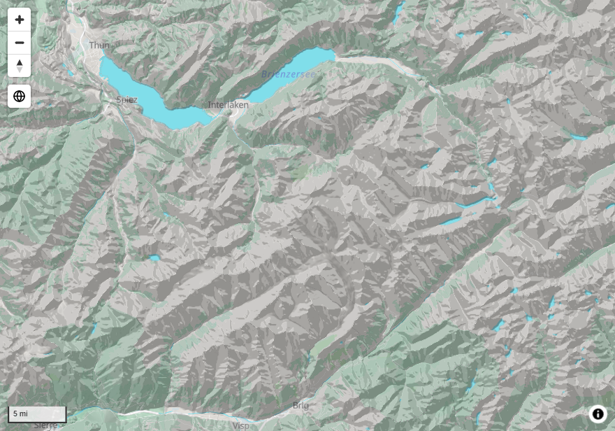
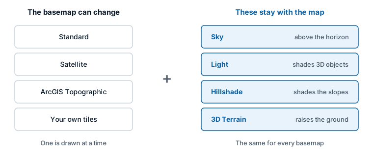
Four settings give a map depth: Hillshade shades the slopes, 3D Terrain raises the ground into relief, Light shades 3D objects, and Sky fills the space above the horizon. They belong to the map, so they work with every basemap.
What each one does
| Setting | What it does | Visible when |
|---|---|---|
| Hillshade | Shades slopes so the terrain reads as relief, even looking straight down | Always |
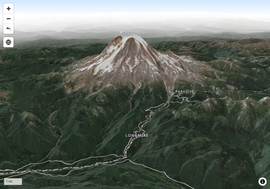
| 3D Terrain | Raises the map surface by its elevation | The map is tilted |
| Light | Lights 3D buildings, 3D columns and extruded shapes | The map has 3D objects |
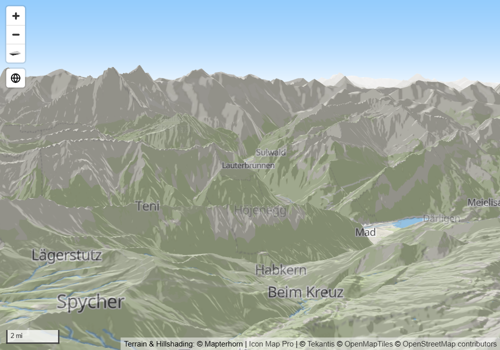
| Sky | Colors the sky and horizon, adds fog over distant ground, and sets the glow around the globe | The map is tilted far enough to show the horizon, or is on the globe |
Where the settings are
The four groups are at the bottom of Format pane > Background Layer: Hill Shading, 3D Terrain, Light and Sky.
Add relief to a map: the quick path
- Switch on Hillshade. The default elevation data, Mapterhorn, covers the world and needs no setup.
- Switch on 3D Terrain.
- Tilt the map: drag with the right mouse button, or set a Default Pitch under Format pane > Map > Zoom.
- Switch on Sky so the area above the horizon is not empty.
Elevation data
Hillshade and 3D Terrain are both worked out from elevation data. Each has its own Source, so they can use different data.
| Source | What it is | What it needs |
|---|---|---|
| Mapterhorn | Worldwide elevation, ready to use. The default | Nothing |
| Icon Map Catalog | Detailed national and regional elevation models from the Icon Map Catalog | Catalog access for the model's tier |
| Custom Raster DEM | Elevation tiles that you host | A link to the tiles |
The pane's Source dropdown also lists Icon Map and Icon Map version 2. These are earlier elevation data sets, kept for maps that were saved with them. Use Mapterhorn for new work.
Your own elevation tiles
With Custom Raster DEM, these settings appear:
| Setting | What it does | Default |
|---|---|---|
| Custom Raster URL | A link to elevation tiles, for example https://example.com/dem/{z}/{x}/{y}.png. Supports conditional formatting (fx) |
Empty |
| Encoding | How the tiles store height. Mapzen Terrarium or Mapbox Terrain RGB. For 3D Terrain there are two more: ArcGIS elevation service and Grayscale relief tiles | Mapzen Terrarium |
| Tile Size | The size of the tiles in pixels, 256 to 2048 | 512 |
| Min elevation (m), Max elevation (m) | For Grayscale relief tiles: the heights that black and white stand for | 0 and 1000 |
| Max detail zoom (0 = auto) | For ArcGIS elevation service and Grayscale relief tiles: the deepest zoom level to read elevation at | 0 |
For 3D Terrain, the link can also be a PMTiles archive.
Elevation from ArcGIS
3D Terrain can read an ArcGIS image service that holds elevation. In the Format pane, set Source to Custom Raster DEM, Encoding to ArcGIS elevation service, and give the service's address.
Hillshade
Hillshade shades slopes over any basemap. It is drawn as a layer of its own, above the basemap and below the map's labels.
| Setting | What it does | Default |
|---|---|---|
| Hillshade | Switches the group on | Off |
| Source | The elevation data | Mapterhorn |
| Visible | Shows or hides the shading without switching the group off | Yes |
| Illumination Direction | The direction the light comes from, 0 to 360 degrees | 335 |
| Illumination Anchor | Whether the direction is measured against the screen (Viewport) or the map (Map), so that it turns when the map is rotated | Viewport |
| Illumination Exaggeration | How strong the shading is, 0 to 10 | 2 |
| Shadow Color | The color of slopes facing away from the light | #000000 |
| Highlight Color | The color of slopes facing the light | #FFFFFF |
| Accent Color | The color that emphasizes sharp relief | #555555 |
| Z-Index | The shading's place in the drawing order, 0 to 1000 | 390 |
| Min Zoom, Max Zoom | The zoom levels between which the shading is shown | 0 and 24 |
Two other hillshades exist for single providers: Show Hillshading for Icon Map styles and Hill Shading for the Azure Maps Road style. Both are set with the basemap in the Format pane. The Hillshade on this page works with every basemap.
3D Terrain
3D Terrain raises the map surface, and everything drawn on it, by the elevation of the ground. It only shows as relief when the map is tilted.
| Setting | What it does | Default |
|---|---|---|
| 3D Terrain | Switches the group on | Off |
| Source | The elevation data | Mapterhorn |
| Exaggeration | How much taller than life the relief is drawn, 0 to 100. 10 is true scale, 20 is twice as tall, 0 is flat | 10 |
Terrain works with every basemap provider. Raise Exaggeration above 10 when the relief is too gentle to read.
Light
Light sets the single light source that shades 3D buildings, 3D columns and extruded shapes. It is always on. It also sets where the sun sits for the glow around the globe.
| Setting | What it does | Default |
|---|---|---|
| Anchor | Whether the light's position is measured against the screen (Viewport) or the map (Map) | Viewport |
| Color | The color of the light | #FFFFFF |
| Intensity | How bright the light is, 0 to 10 | 5 |
| Radial Coordinate | The distance of the light from the objects, 0.1 to 2 | 1.15 |
| Azimuthal Angle | The direction the light comes from, 0 to 360 degrees | 210 |
| Polar Angle / Height | The height of the light, 0 to 180 degrees. 0 is straight overhead, 90 is on the horizon | 30 |
Sky
Sky colors the space above the horizon on a tilted map, adds fog over distant ground, and sets the atmosphere around the globe. With Sky off, the basemap style's own sky is used, if it has one.
| Setting | What it does | Default | Needs |
|---|---|---|---|
| Sky | Switches the group on | Off | |
| Sky Color | The color at the top of the sky | #88C6FC | A tilted map |
| Horizon Color | The color at the horizon, blended upward into the sky color | #FFFFFF | A tilted map |
| Sky Horizon Blend | How far the horizon color reaches up into the sky, 0 to 100. 0 uses the sky color alone | 80 | A tilted map |
| Horizon Fog Blend | The blend between the horizon color and the fog color, 0 to 100. 100 is fog only | 80 | 3D Terrain on |
| Fog Color | The color of the haze over distant ground. It fades in as the map is tilted | #FFFFFF | 3D Terrain on |
| Fog Ground Blend | Where the fog starts, from the center of the map (0) to the horizon (100) | 50 | 3D Terrain on |
| Atmosphere Blend | The strength of the halo around the planet, 0 to 100 | 80 | The globe projection |
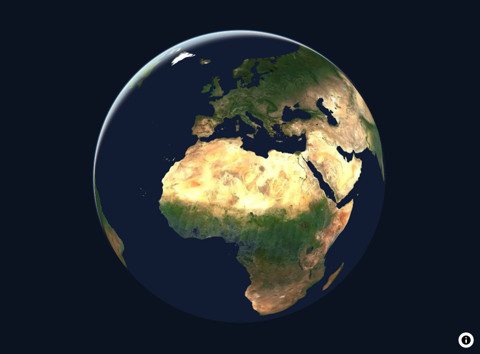
The globe and tilt are described in View, zoom and projection.
3D buildings
3D buildings are part of the Icon Map basemap styles, not a setting on this page. See Icon Map basemap styles. Their shading follows Light.
Tips and limits
- If 3D Terrain seems to do nothing, the map is probably looking straight down. Tilt it.
- If the fog settings seem to do nothing, switch on 3D Terrain.
- When the elevation data is Mapterhorn, the map adds a Mapterhorn credit.
- On a network with no internet access, the elevation data can be hosted with the rest of the map assets. See Power BI Report Server (on-premises).