
Global Location Data for Power BI

Worldwide reference layers and country-level boundaries spanning every continent.

Global administrative boundaries, populated places, time zones and other planet-scale reference data - perfect for international reporting.
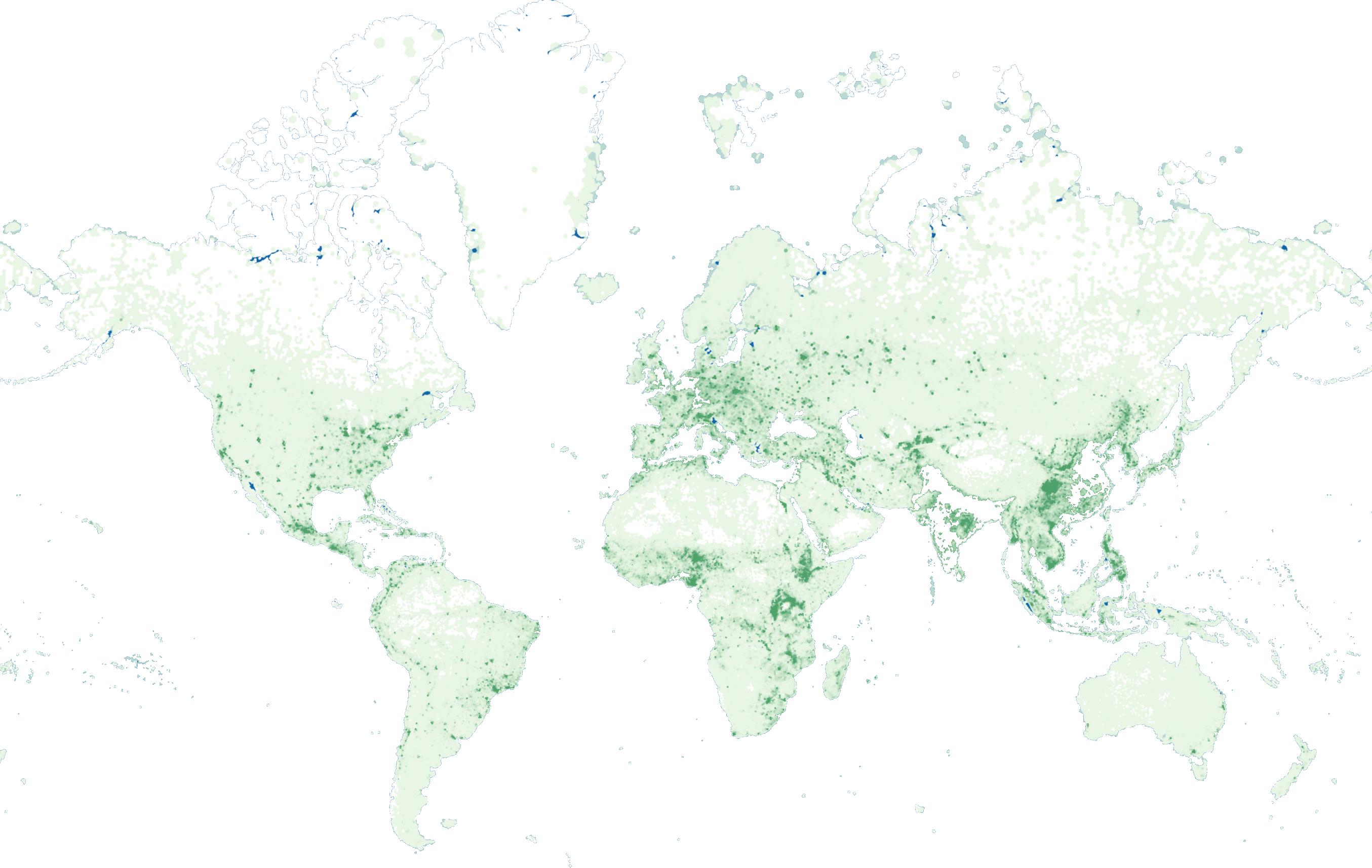
Global catalog map
31+ layers Authoritative Global datasets
Cloud native Streamed from the cloud, always up to date
Seamless in Power BI Bind, visualise and filter in seconds

What's in the Global catalogue?

Curated datasets from trusted government and open data sources. All ready to style, filter and bind to your Power BI data.
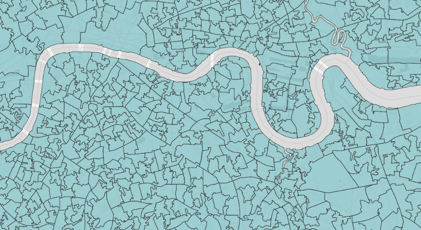
Administrative & Statistical Geographies

Country, region, county, local authority, census tract and statistical boundaries.

Example layers
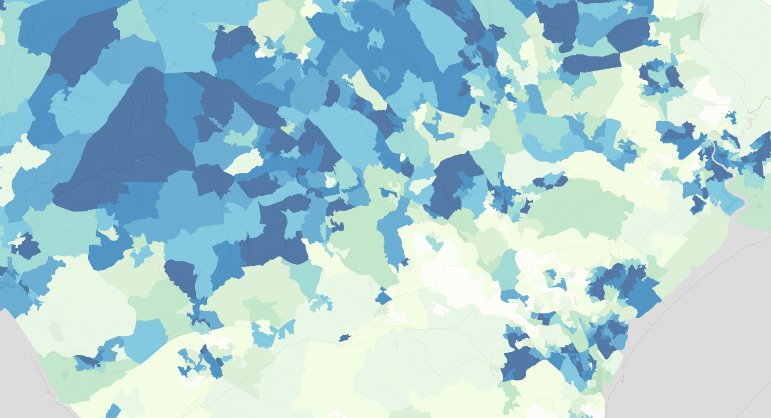
  • World - Comprehensive Global Administrative Zones (CGAZ) — ADM2 - Municipalities
  • Global - Countries
  • OCHA Global Subnational Administrative Boundaries - Level 3 (P-Codes) — February 2026
  • OCHA Global Subnational Administrative Boundaries - Level 0 (P-Codes) — February 2026
View layers →

Demographics & Population

Population counts, age, ethnicity, household composition and census attributes.

Example layers
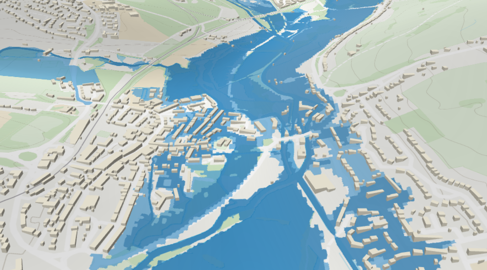
  • Kontur Global Population Dataset
View layers →

Environment, Nature & Climate

Habitats, ecology, soils, climate, air quality, flood and natural risk.

Example layers
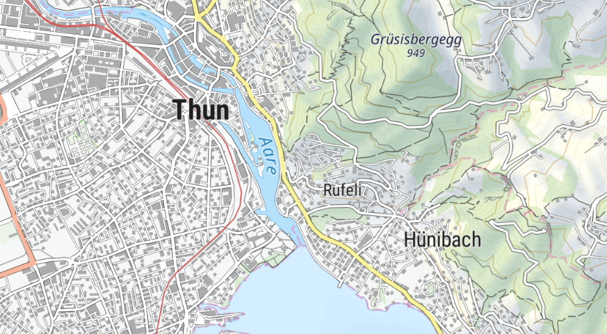
  • Ocean Depth - Global Bathymetry (GEBCO)
  • Ski Slopes, Pistes & Lifts (Global)
  • Cycling & MTB Routes Network (Global)
  • Icon Map Terrain - Global Ocean & Land (GEBCO)
View layers →

Transport, Mobility & Infrastructure

Roads, rail, airports, public transport, EV charging and mobility analytics.

Example layers
  • EMODnet Human Activities — Worldwide Shipwrecks (UKHO)
  • Inland Waterways - Canals & Navigable Rivers (Global)
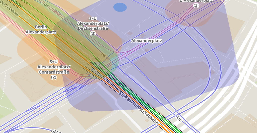
  • Public Transport Routes (Filterable)
  • Aerodromes (Filterable)
View layers →

Reference, Basemaps & Place Names

Place names, gazetteers, topography, contours and general reference layers.

Example layers

  • Open Infrastructure Map - Global Energy, Telecoms, Oil & Gas and Water
  • Global - Timezones
  • World - Overture Maps Buildings
View layers →

What can you build?

Real-world analyses you can power with Global catalog layers in Power BI.

Market & Territory Planning

Understand your markets, customers and opportunities at any geography.

Site Selection & Expansion

Find the right locations using demographics, economic and infrastructure data.

Risk & Resilience Analysis

Assess environmental, health and climate risks to protect people and assets.

Mobility & Accessibility

Analyse movement patterns and accessibility to services and infrastructure.

Program & Policy Impact

Target programs, measure impact and drive better outcomes for communities.