

Today's theme of the 30 Day Map Challenge is "clusters".
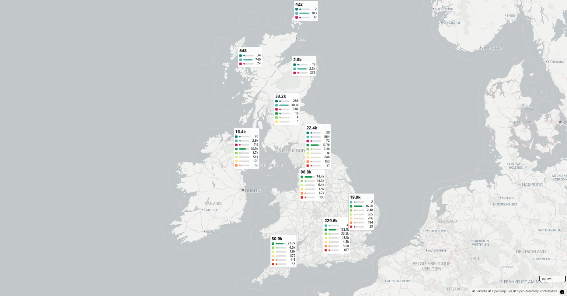
For this map I've chosen to use Food Standards Agency data to show the ratings of restaurants and takeaway establishments across the UK. There are nearly half a million of them, and each has a hygiene rating - so an ideal use case for clustering. Scotland has a different rating system to the rest of the UK, so you'll see a different set of colours and categories there.
The first choice when clustering is to choose how to represent those clusters. In Icon Map for Fabric, there are a wide range of choices:
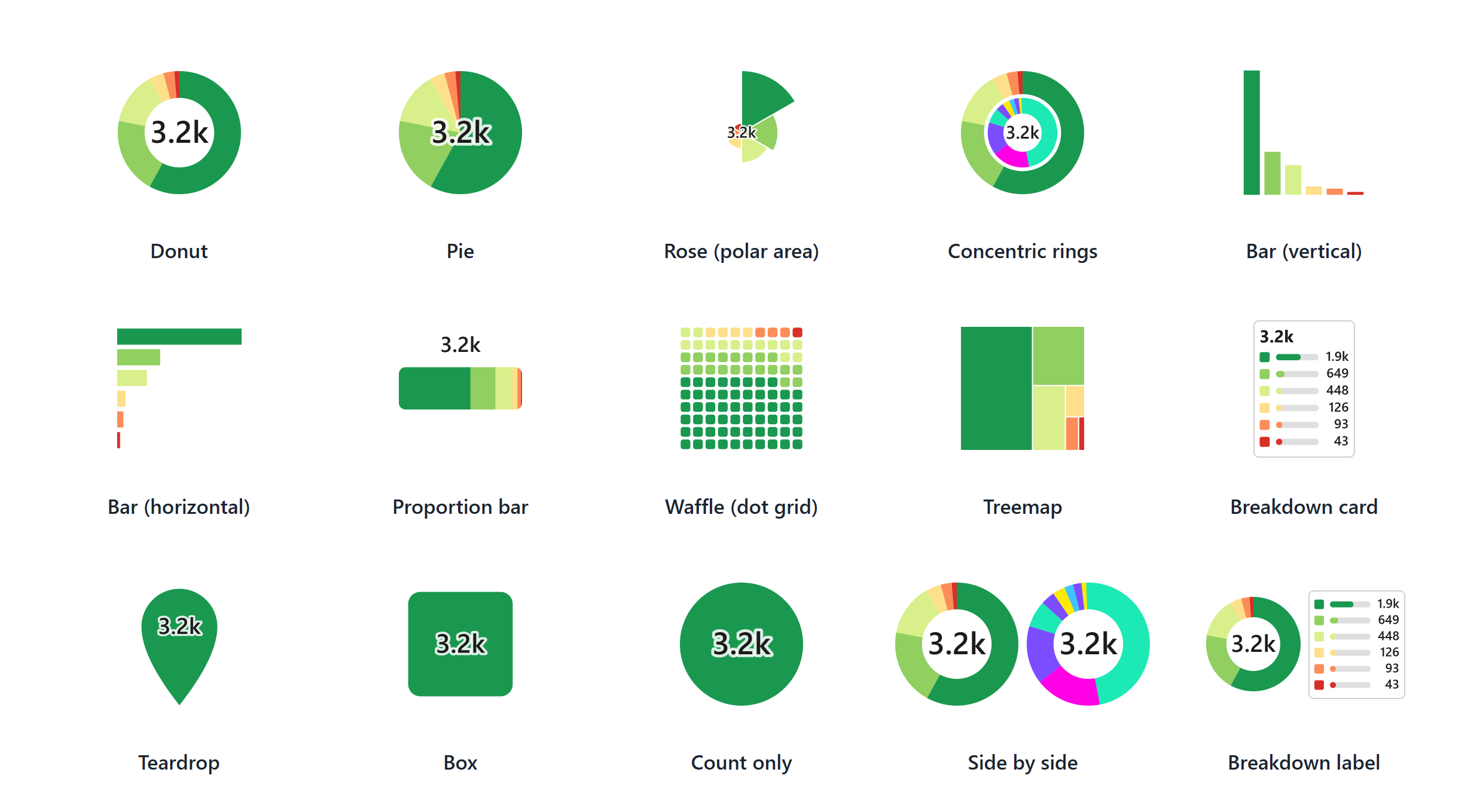
On this map, I chose the "breakdown card" as I like the fact it shows the number for each of the categories.
Here's the map I created:
Food hygiene ratings: Food Standards Agency, Food Hygiene Rating Scheme and Food Hygiene Information Scheme data, as of 30 October 2026. Contains public sector information licensed under the Open Government Licence v3.0.
Postcode locations: Contains Ordnance Survey data © Crown copyright and database right 2026. Contains Royal Mail data © Royal Mail copyright and database right 2026. Contains National Statistics data © Crown copyright and database right 2026. Contains NRS data © Crown copyright and database right 2026. Source: Office for National Statistics, licensed under the Open Government Licence v3.0.