

It's day 27 of the 30 Day Map Challenge, and today's theme is a new tool.
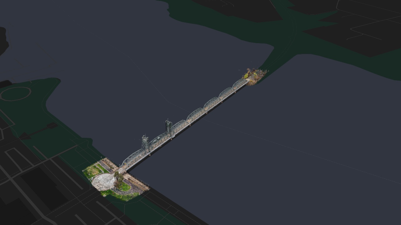
The new tool is Gaussian splatting, a way of turning photographs of a real place into something you can fly around. Today's map is the Stillwater Lift Bridge, which crosses the St. Croix River between Stillwater, Minnesota, and Wisconsin. What you are looking at is not a 3D model and not a photo. It is 2.7 million Gaussian splats, trained from 2,222 drone photos, and streamed into the map as standard 3D Tiles.
Drag to look around, or step through the four views along the top.
What is a Gaussian splat?
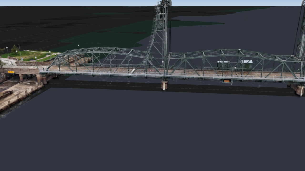
A Gaussian splat is a small, soft, see-through blob of color with a position, a size, a shape and a direction. On its own it looks like a smudge. Millions of them, each placed and colored so that together they look like the photographs from wherever the photographs were taken, make a scene you can look at from any angle.
They are trained, not modeled. You start from a set of photos and the position of the camera for each one. The training adds, moves, stretches and recolors splats until the scene, seen from each camera, matches the photo that camera took. Nobody draws the bridge: the steel trusses, the painted deck and the trees on the causeway all come out of the photos.
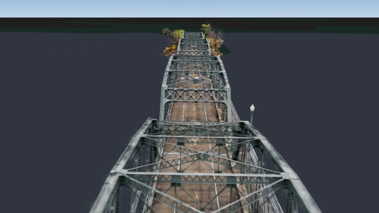
That is why a splat can show things a mesh struggles with, such as thin steel lattice, leaves and reflections. Get close to the bridge and the girders, the bracing, the railings and the lamp posts are all there, made of nothing but splats. It is also why it is a picture of how the place looked, not a measured model of it.
From drone photos to a map
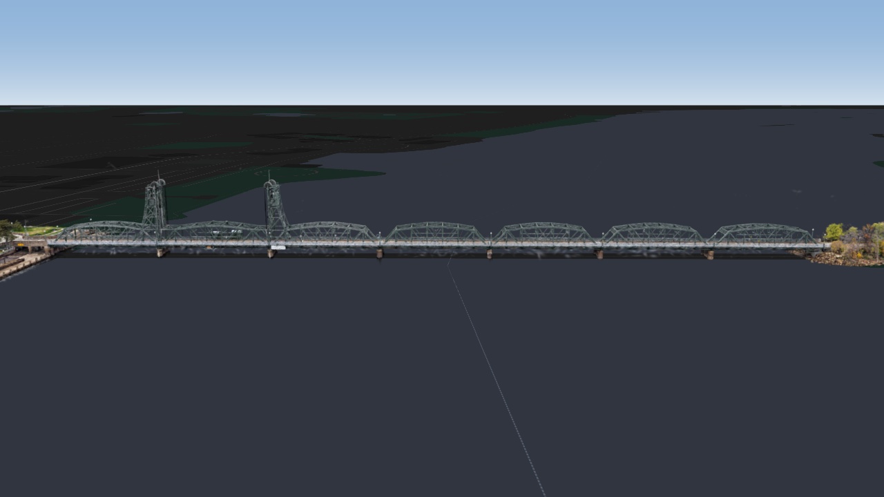
The photos are Matthew Guertin's drone survey of the bridge, which he has shared on Hugging Face under a CC BY 4.0 license: 2,222 images, with the camera positions from his OpenDroneMap reconstruction.
I trained the splats with Brush, an open-source trainer that runs on an ordinary desktop graphics card, for 25,000 steps. That gave about 4 million splats. Training also leaves a haze of stray splats in the air, so I kept a box around the bridge and its banks and dropped the obvious floaters, which left 2.74 million.
Then gotiler cut them into 215 tiles of 3D Tiles, using the Khronos KHR_gaussian_splatting extension, the new standard way of putting splats inside glTF. The tiles are packed into a single 106 MB .3tz archive on ordinary blob storage. The map never downloads it whole: it reads just the tiles it needs, by byte range, as you move.
What's new in Icon Map for Fabric
The tool for today's theme is new in Icon Map for Fabric:
- Splat tilesets in the 3D Tiles layer. Paste the address of a tileset of Gaussian splats into a 3D Tiles layer, or point it at a
.3tzarchive, and Icon Map recognizes the splats and draws them. Only the detail near the camera is loaded, so a capture far bigger than this one stays smooth. - Splats in published maps. Published and embedded maps now draw splats, from a single splat file or a whole tileset, exactly as the editor does.
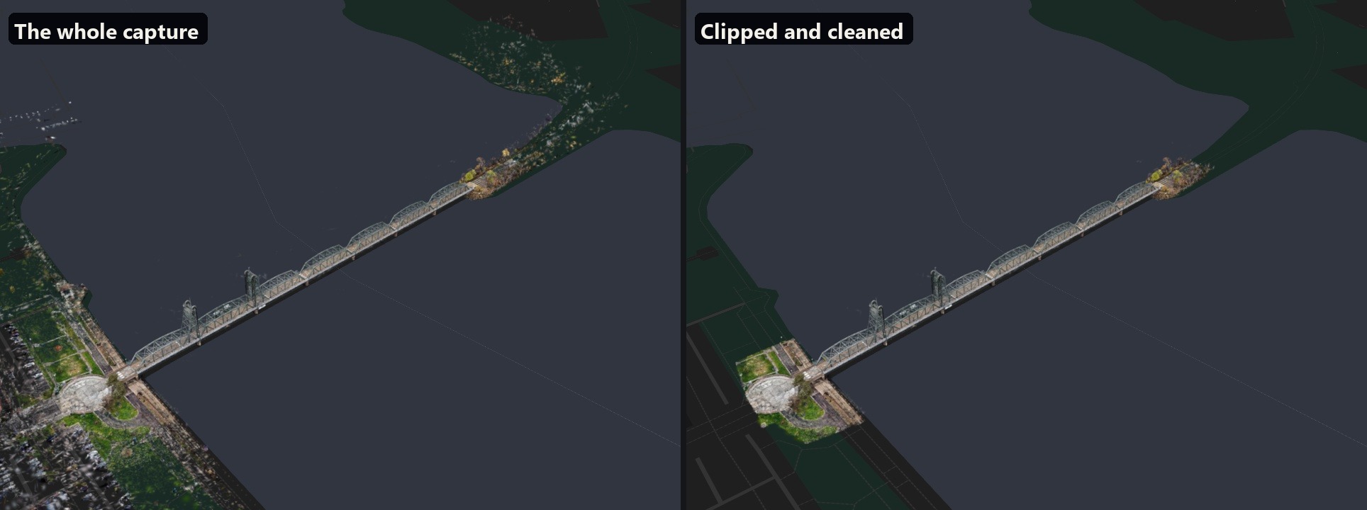
- A clip area. Draw an area on the map in the layer's panel, and only the splats inside it are shown. Here it keeps the bridge, the plaza on the Stillwater side and the end of the causeway, and drops the town and the far banks the drone also caught.
- Clean up floaters. A setting that hides the haze training leaves behind: splats floating on their own, faint oversized ones and thin needles. It works on the GPU as the map draws, so it is instant to switch on or change.
How accurate is it?
A splat shows what the place looked like from where the drone flew, not measured geometry. Distances and heights read off it are approximate.
Detail falls off away from the flight paths. The bridge, which the drone circled, is sharp; parked cars, people and the edges of the capture are softer and smeared.
The training stopped at 25,000 steps, when my graphics card ran out of memory. More steps would sharpen the finest detail.
The bridge is set down on the map from its own lowest splats, so it stands on the basemap rather than at a surveyed height above sea level.
The floater clean-up is a set of rules, not a judgment. It removes splats that look like floaters, so the strongest setting also takes some real fine detail, and haze dense enough to fill a whole tile stays. That is what the clip area is for.
Credits
Gaussian splat trained from Matthew Guertin's drone survey of the Stillwater Lift Bridge (2026, CC BY 4.0). Aerial imagery: USGS / NAIP (public domain). Basemap © IconMap, © OpenStreetMap contributors.