

It's day 17 of the 30 Day Map Challenge, and today's theme is light and dark: "Play with visual effects. What can you map with just light and shadows?"
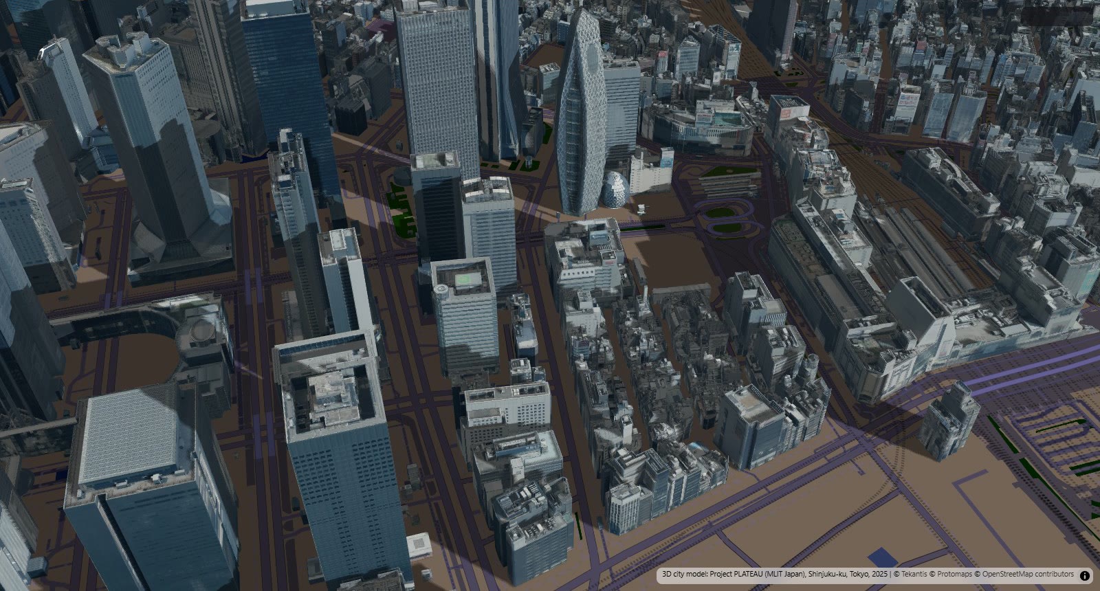
So this is Shinjuku, in Tokyo, drawn by its shadows. It's one day, 17 November 2026, from sunrise to sunset. The buildings are real, the position of the sun is real, and the shadows are whatever those two things make between them.
There's no data on this map in the usual sense. No points, no colors by value, no legend. The only thing that changes is the time, and the only thing the time changes is the light.
The map plays by itself: the time slider at the bottom runs through the day and the shadows swing round with it. Pause it and drag the slider to pick your own moment. The slider shows the time in UTC, and Tokyo is nine hours ahead, so 23:00 on the slider is eight in the morning in Shinjuku. The bookmarks along the top take you to four moments in the day. It's a detailed 3D city, so give it a little while to load.
In the morning the sun is in the south-east, and the towers west of the station throw their shadows north-west, across the lower blocks behind them.
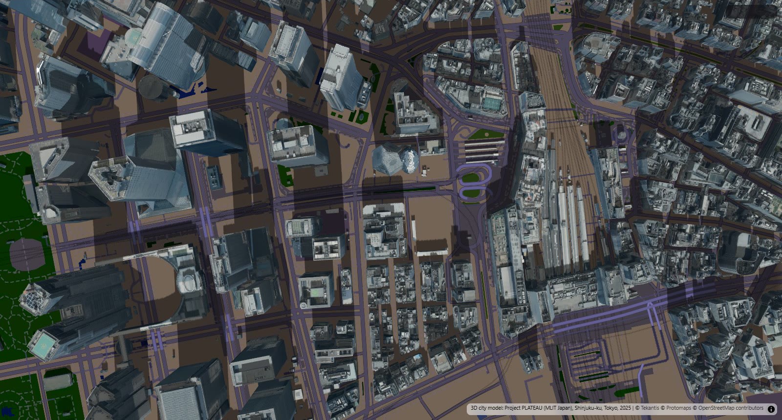
By half past eleven the sun is as high as it gets in Tokyo in mid-November, which is only about 35 degrees above the horizon. Seen from straight above, every tower is a sundial. A 200 m building still casts a shadow nearly 300 m long at midday.
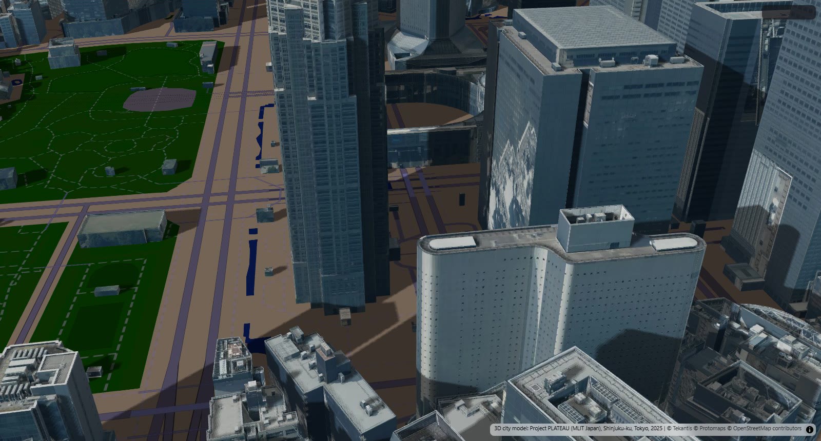
Down among the towers in the afternoon, most of the street is in shade and stays there. This is the part of the map I find most useful. If you've ever wondered which side of a street gets the sun, or how much of a park is in shadow by three o'clock in winter, this is the question it answers.
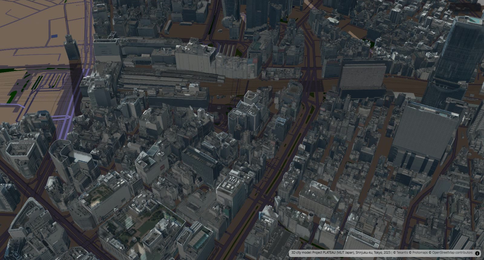
Half an hour before sunset the sun is a few degrees above the horizon and the shadows run for a kilometer. East of the station, almost nothing is left in the light.
How did I build it?
I built this one using Icon Map's MCP service. The buildings come from Project PLATEAU, the open 3D model of Japan's cities published by the Ministry of Land, Infrastructure, Transport and Tourism. It's a remarkable dataset: every building in Shinjuku with its real roof shape, and around the station, real photographs on the walls. It's published as 3D Tiles, and Icon Map for Fabric reads it straight from PLATEAU's own servers as a 3D Tiles layer.
The shadows are new. Icon Map for Fabric already worked out where the sun is for any place, date and time, and lit the map from it. For this map we added the other half: 3D Tiles buildings and 3D models now cast sun shadows on the ground and on each other. It's one switch, in the environment effects, and it's live in the product today.
The rest is the time slider. The sun is set to follow the slider, the slider runs from 06:00 to 17:00 Tokyo time, and the map does the rest as it plays. The basemap is Avenue Night with its own buildings and labels turned off, so the only buildings are the real ones.
How accurate is it?
The sun's position is calculated for the exact date, time and place, so the direction and length of each shadow are right for a 2025 model of the city.
The ground is flat. Shinjuku isn't quite, so shadows on sloping streets will be a little out.
Only buildings cast shadows. Trees, bridges, elevated roads and railways are not in this layer, so the real streets are shadier than these.
The shadows are drawn lighter as the sun nears the horizon and fade out just before sunset. Real low sun is weak and diffuse, but the fade here is a design choice, not a measurement.
Only the area around the station has photographs on its buildings. The rest of the ward is in the model as plain white shapes, so I've kept the views in the middle. If you pan far enough you'll find them.
Sources
3D city model: Project PLATEAU, Ministry of Land, Infrastructure, Transport and Tourism of Japan. Shinjuku-ku, Tokyo, 2025 building model (LOD2), used under Japan's Public Data License 1.0.
Basemap: © Protomaps © OpenStreetMap contributors.
Sun position: computed in Icon Map for Fabric for each moment on the time slider.